Pangong Tso is a high-altitude lake in eastern Ladakh, about 4,225 m up and 134 km long, most of it lying across the border on the Chinese side. From India you see the western end. You reach it from Leh in about 5 to 6 hours over Chang La, one of the highest motorable passes, or across from Nubra along the Shyok. The water is brackish and famously shifts through blues and greens through the day. Indians need an Inner Line Permit, foreign nationals a Protected Area Permit, and there is no boating on the Indian side. Stay a night if you can.
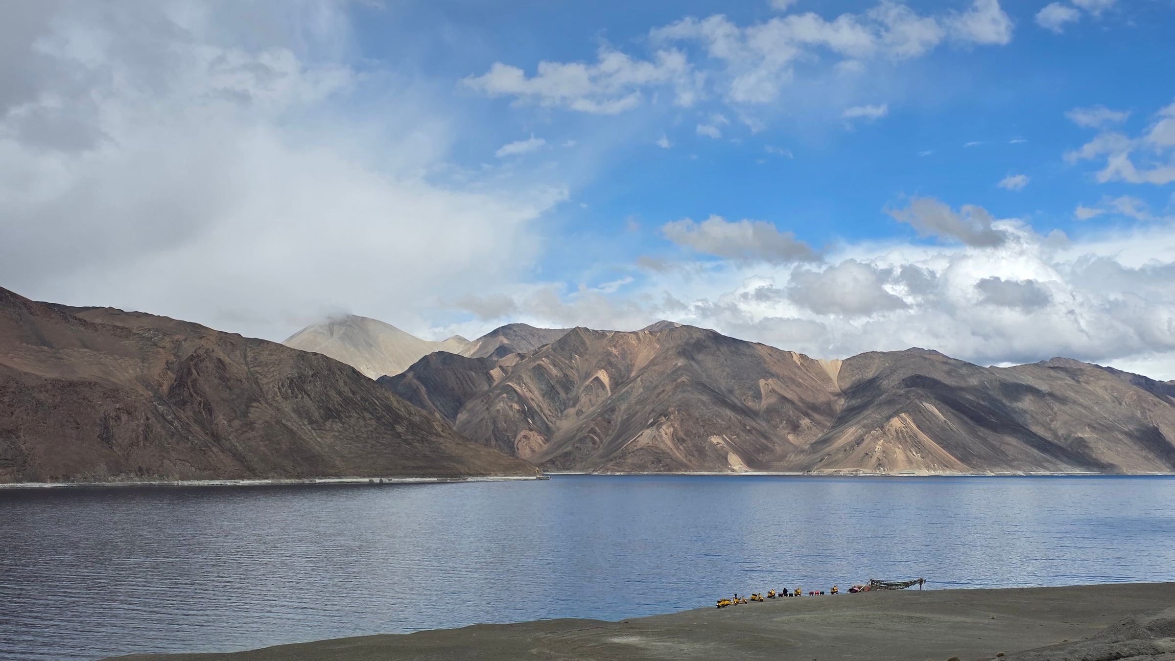
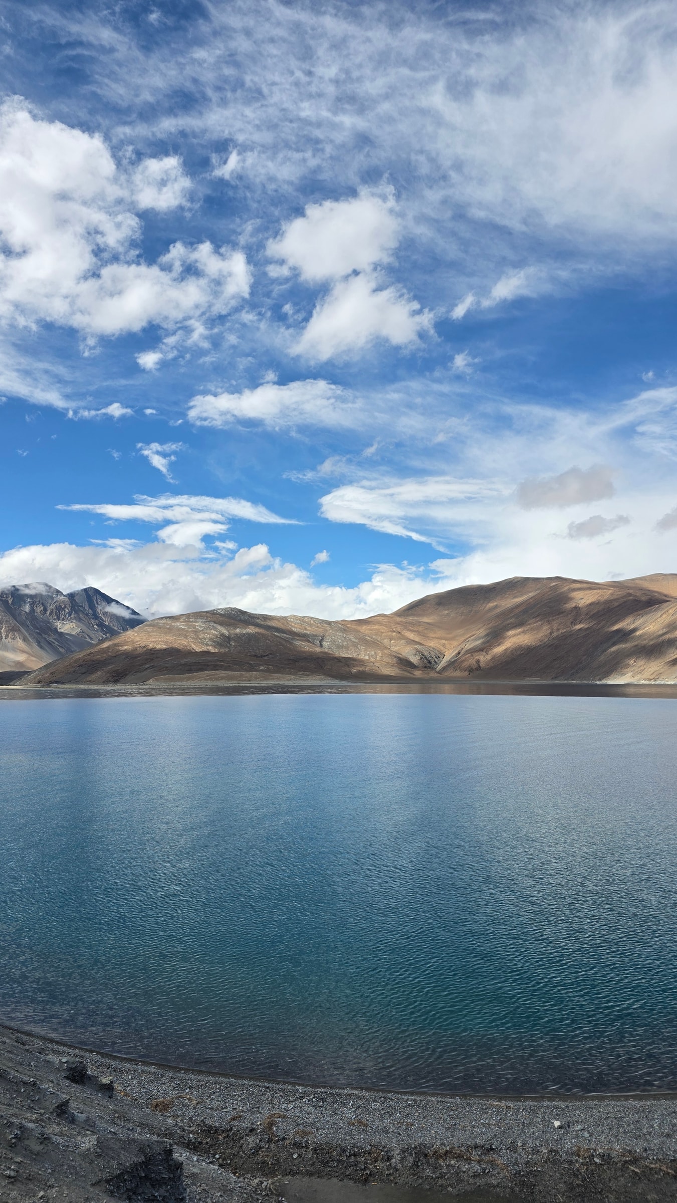
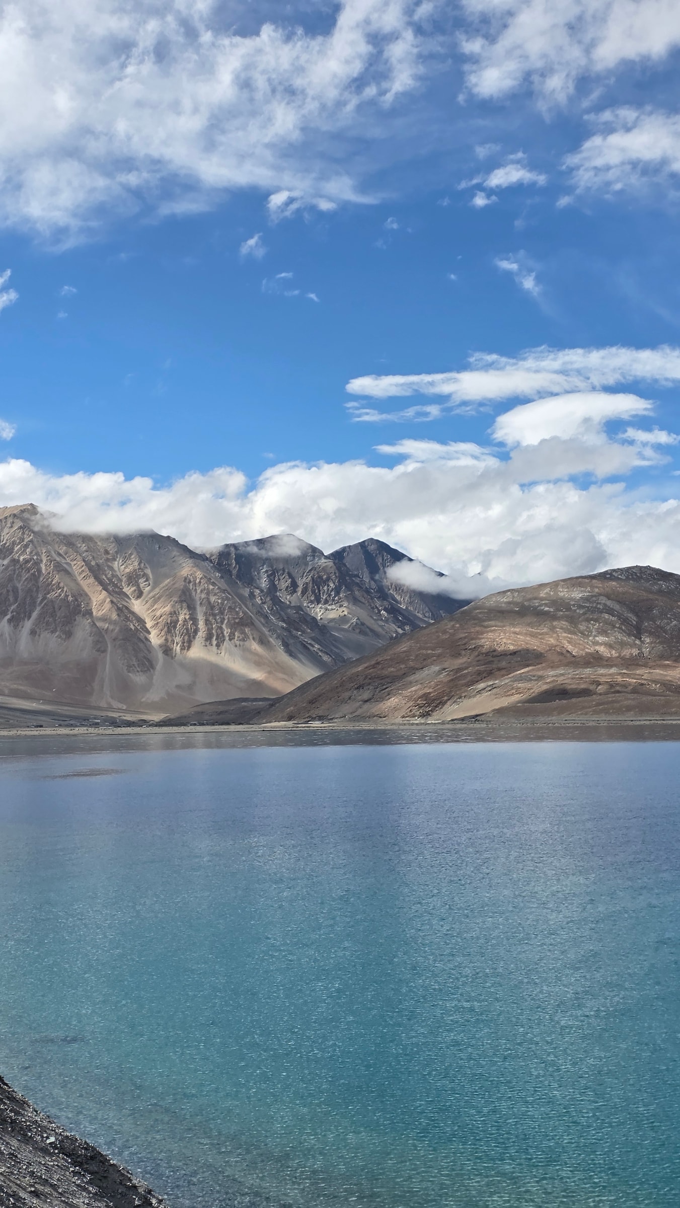
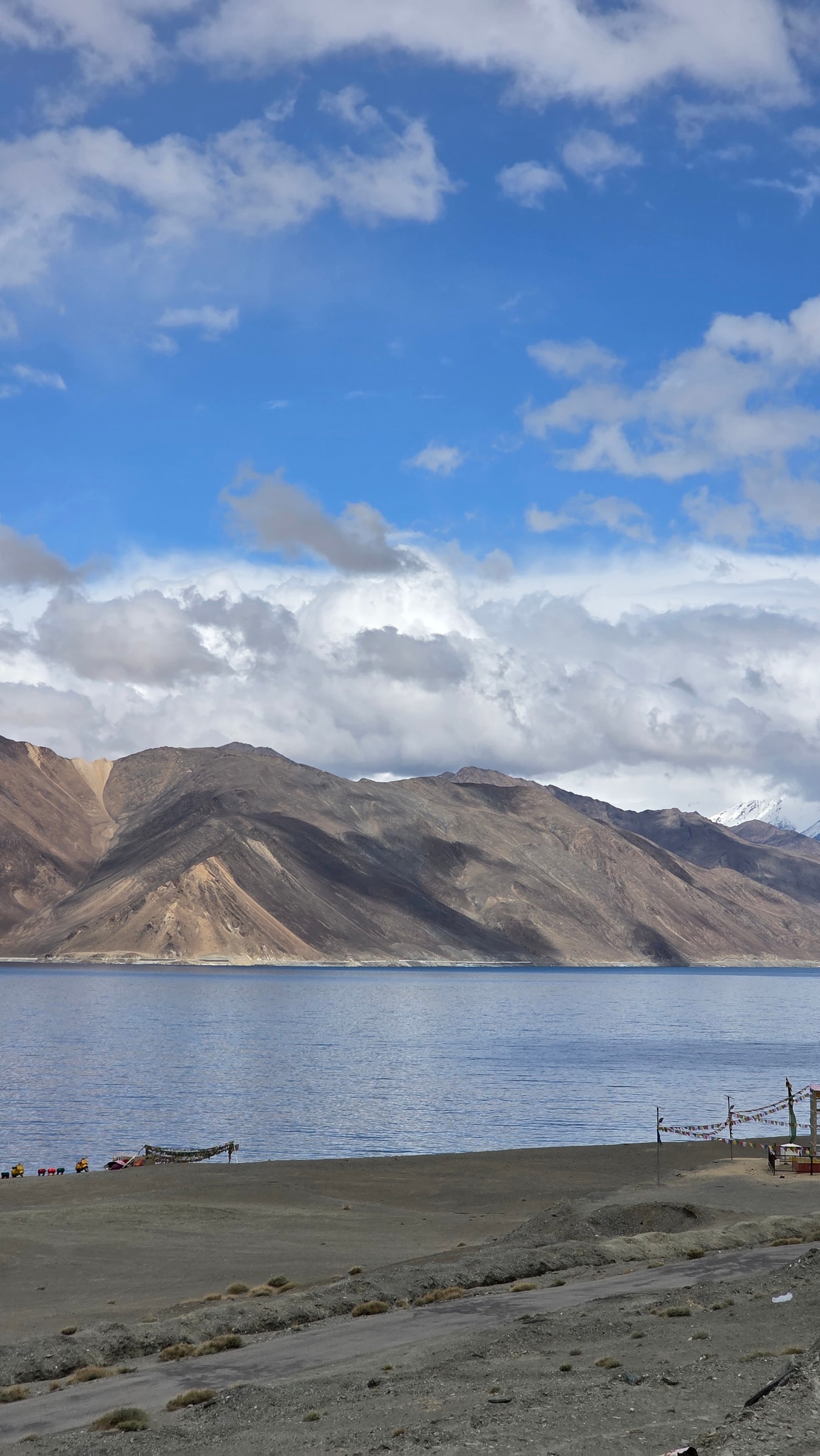
The photo is always the same: electric blue water, bare mountains, an enormous sky. Pangong is the most photographed place in Ladakh, and the least understood. Most people drive for hours, stay barely one, take the shot everyone takes, and drive off. There is far more to it. The lake sits at 4,225 m, its water is saline, and it freezes solid in winter. It runs 134 km, but only the western end is in India; the rest reaches across the border into Tibet. Give it more than an hour.
Why the water changes colour
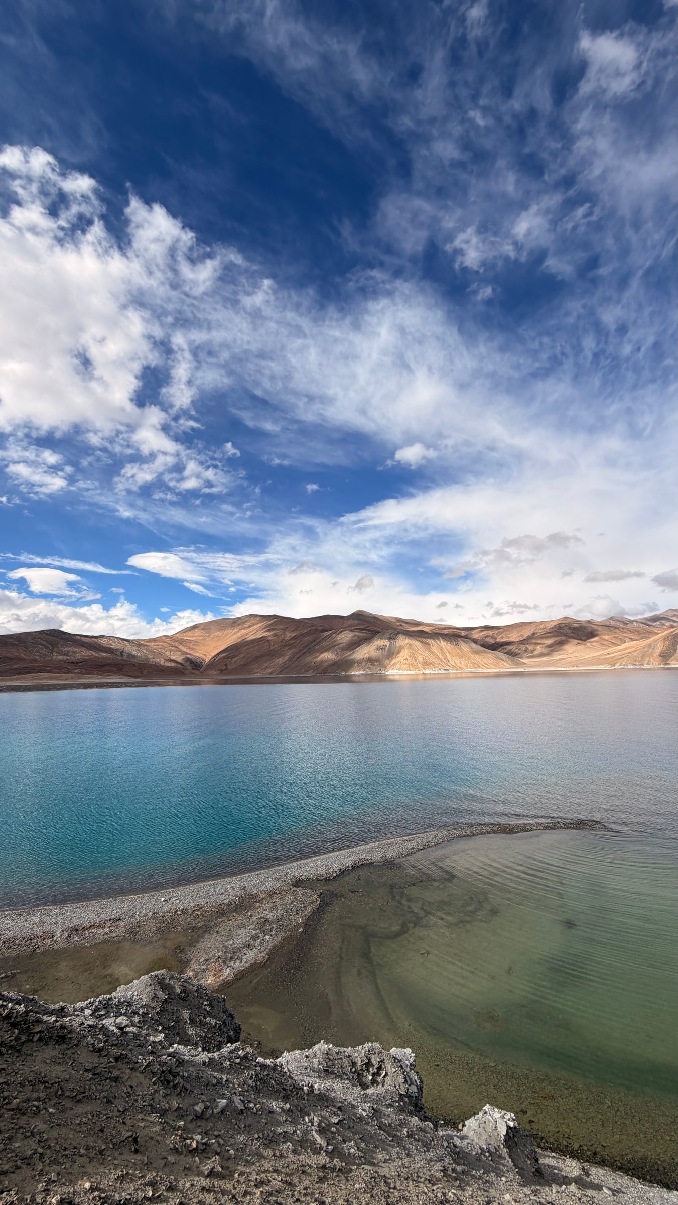
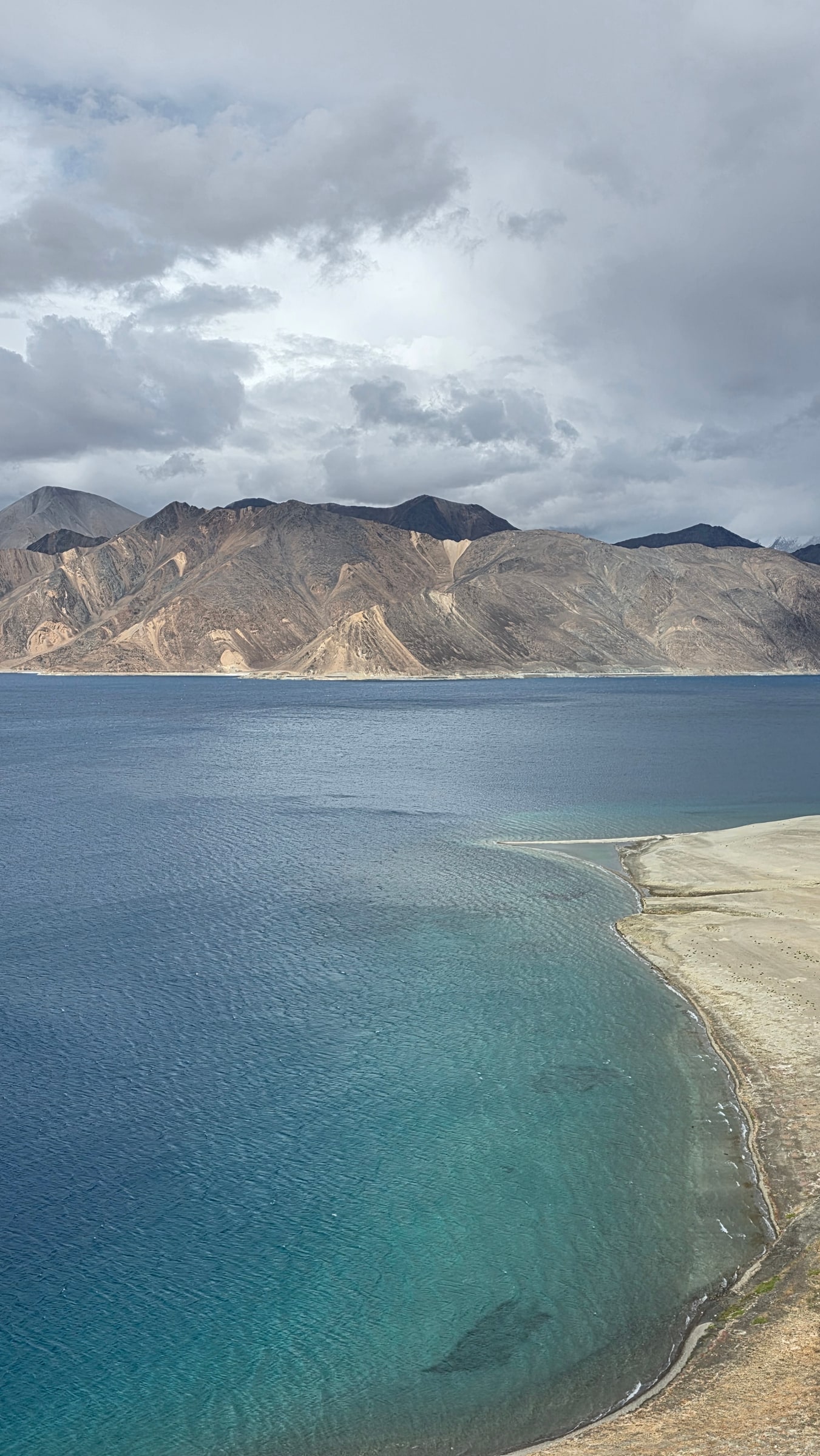
This is what people remember most. Through a single day the water moves through turquoise, deep blue, grey and green, and the clouds rolling over it never let the surface settle. Come back the next morning and it is a different lake again. Depth, minerals and the sky do it together, not any one thing.
It is also salty, one of the highest brackish lakes on earth. The reason is simple: streams carry a little mineral salt in, but no river drains the lake out, so water leaves only by evaporating. Evaporation takes the water and leaves the salt behind, and over thousands of years it has built up. Somehow the lake still freezes solid in winter.
Getting there
Two ways in, both spectacular:
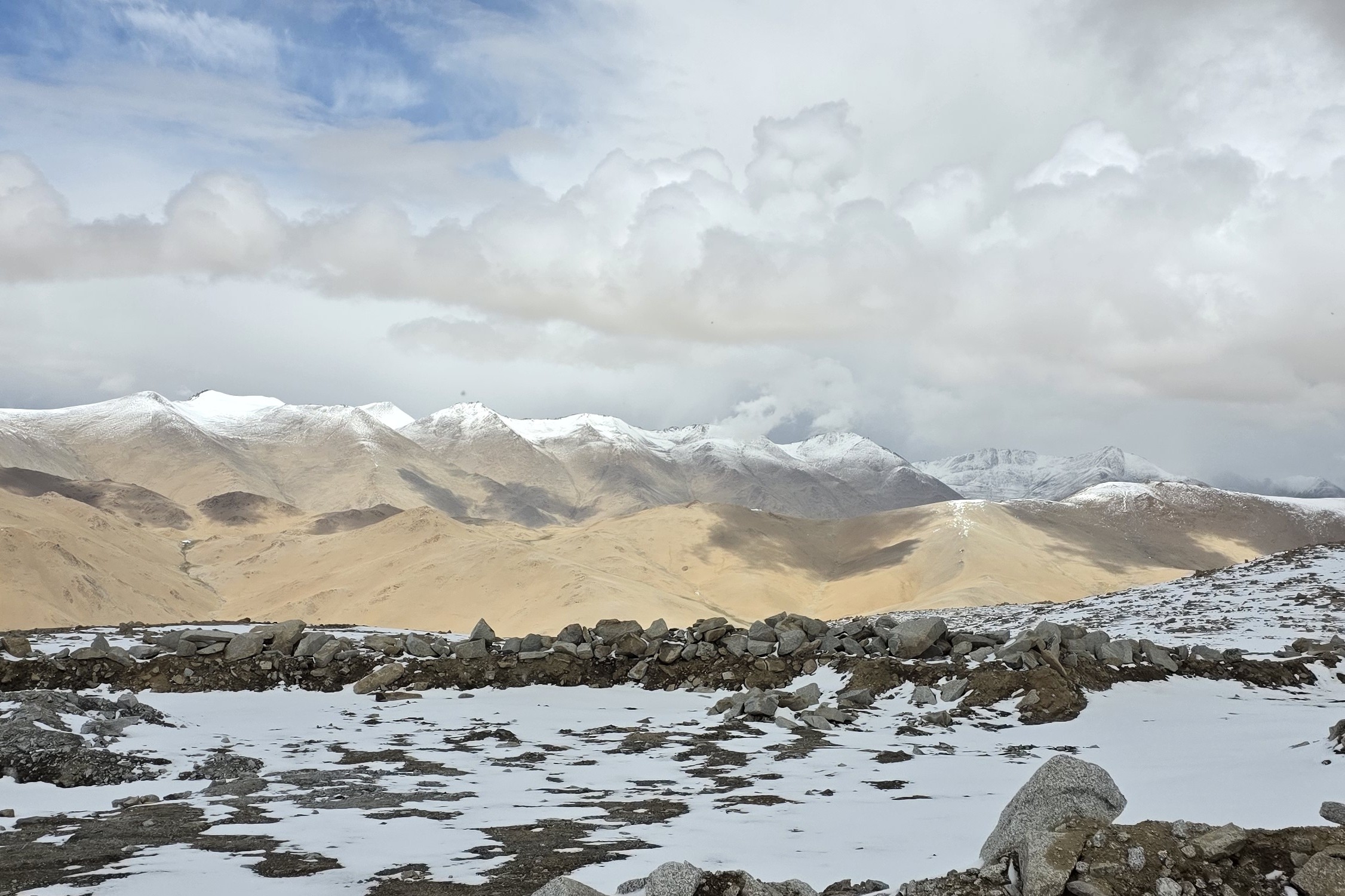
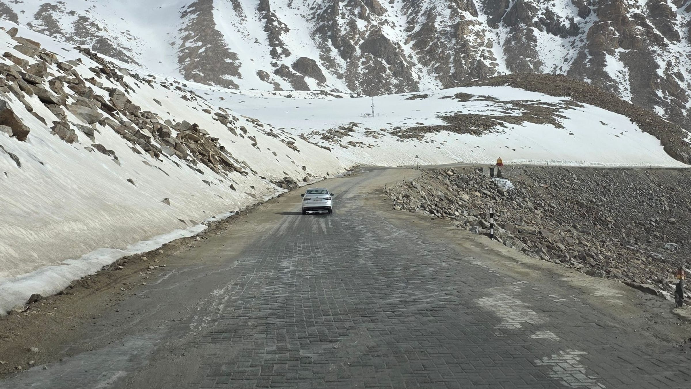
- From Leh, over Chang La. East through Kharu and Sakti, up Chang La (about 5,360 m, snow at the top even in summer), then down past Tangtse to the shore. About 5 to 6 hours.
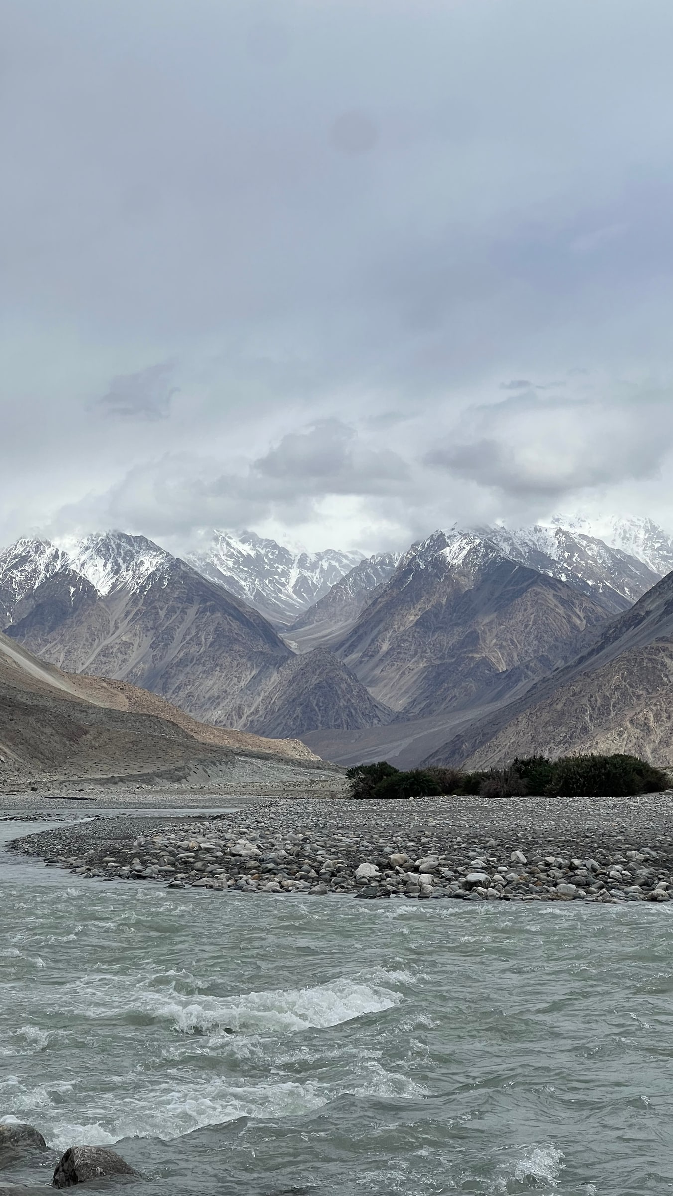
- From Nubra, along the Shyok. A quieter route that skips Leh and links Nubra and Pangong into a single loop.
Either way it is high and long, so do not attempt it on your first day at altitude, and do not linger at the top of Chang La.
You are standing at a border
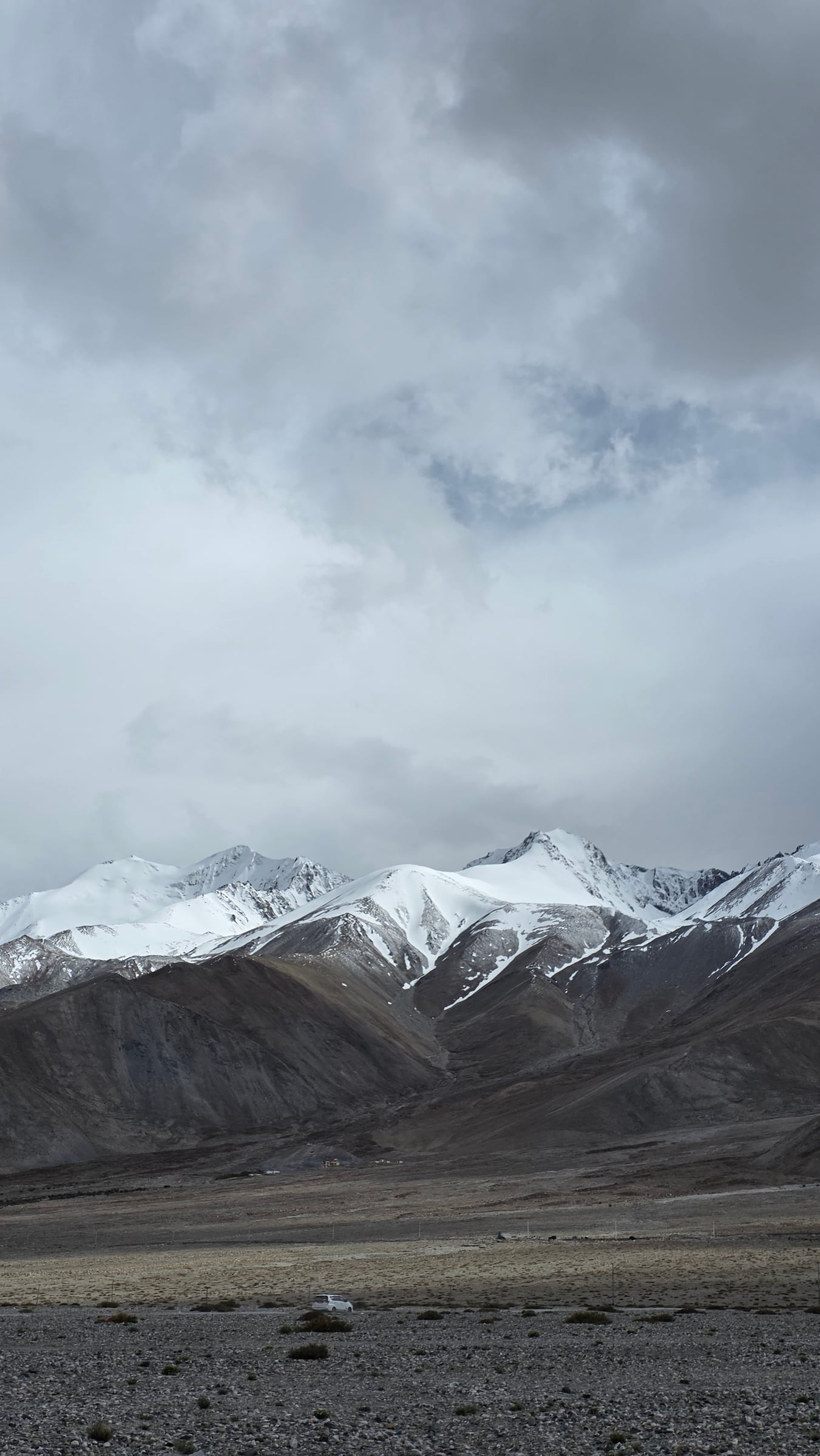
The lake runs 134 km, but roughly two-thirds lies across the Line of Actual Control, on the Chinese side. The western end, where visitors from India go, is the only part open from this side. The boundary has been disputed for decades, which is why there are checkposts and permits. You need none of that to enjoy the view, but it is part of why Pangong feels so quiet and remote.
Where to stay, and why overnight
The Indian shore is a string of points, each quieter than the last: Lukung, Spangmik, then Man and Merak further along, greener and more like real villages. All of them have camps and cottages, so the real choice is the view; pick a stay that looks straight onto the lake.
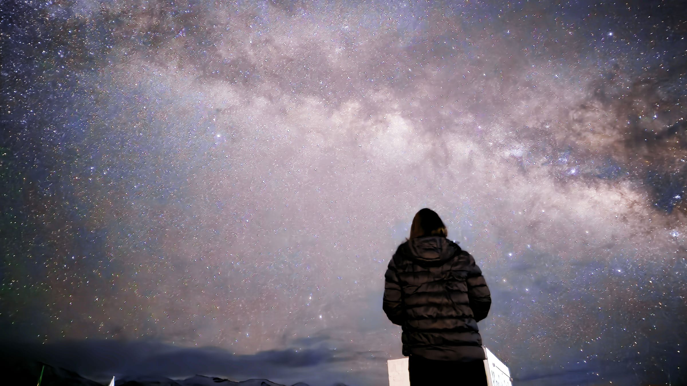
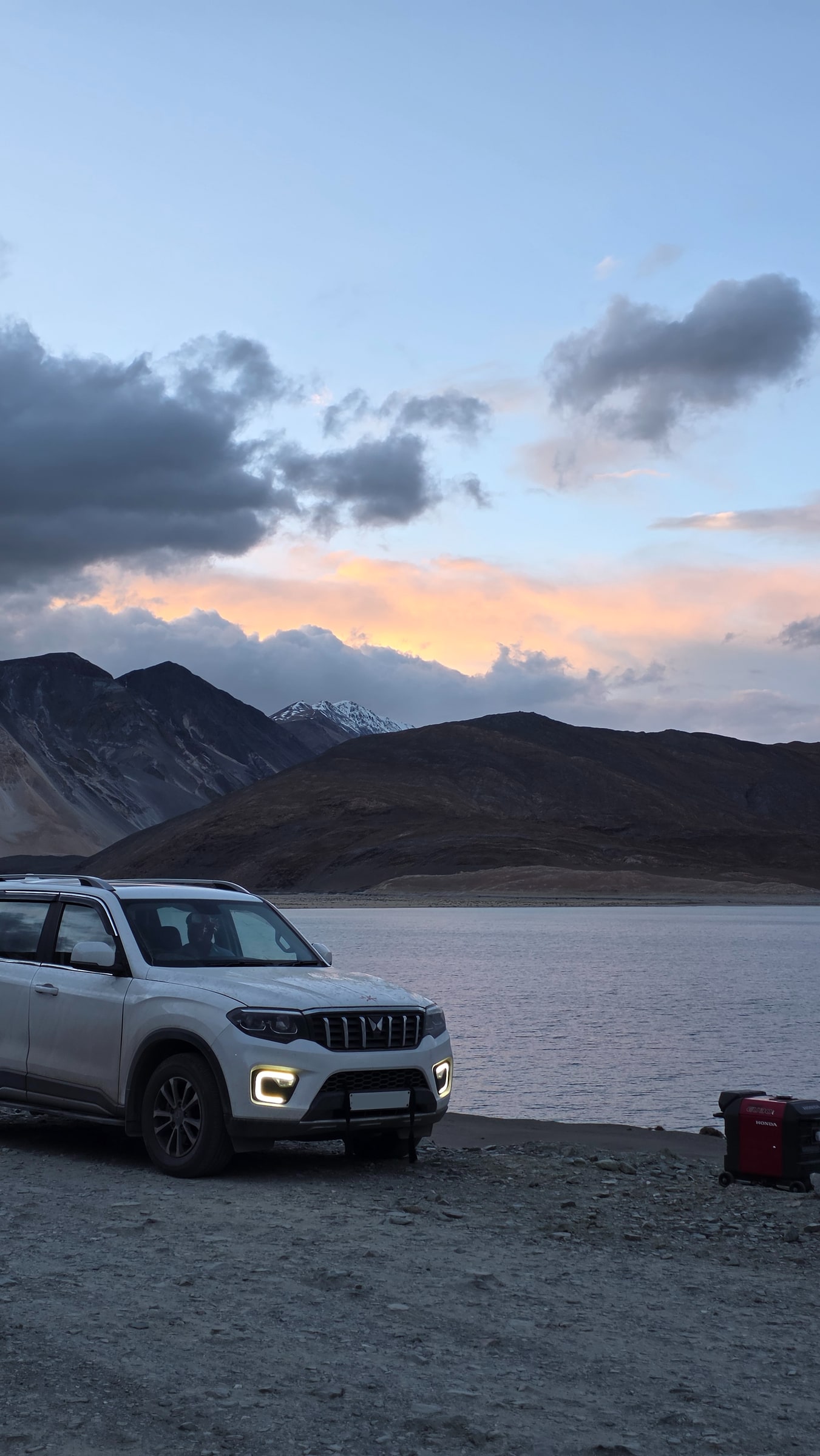
It is a day trip for many, and easily worth a night for anyone who can. Stay and you get what day-trippers miss: the colours at dawn and dusk, and a night sky as good as anywhere in Ladakh. Two things to know: the shore is sandy and calm, so it feels, improbably, like a beach at 4,225 m, and electricity is limited, usually only a few hours after dark, so carry a power bank.
What you will see
Besides the lake:
- Marmots, fat and curious, right by the road. Please do not feed them, it is a real problem here.
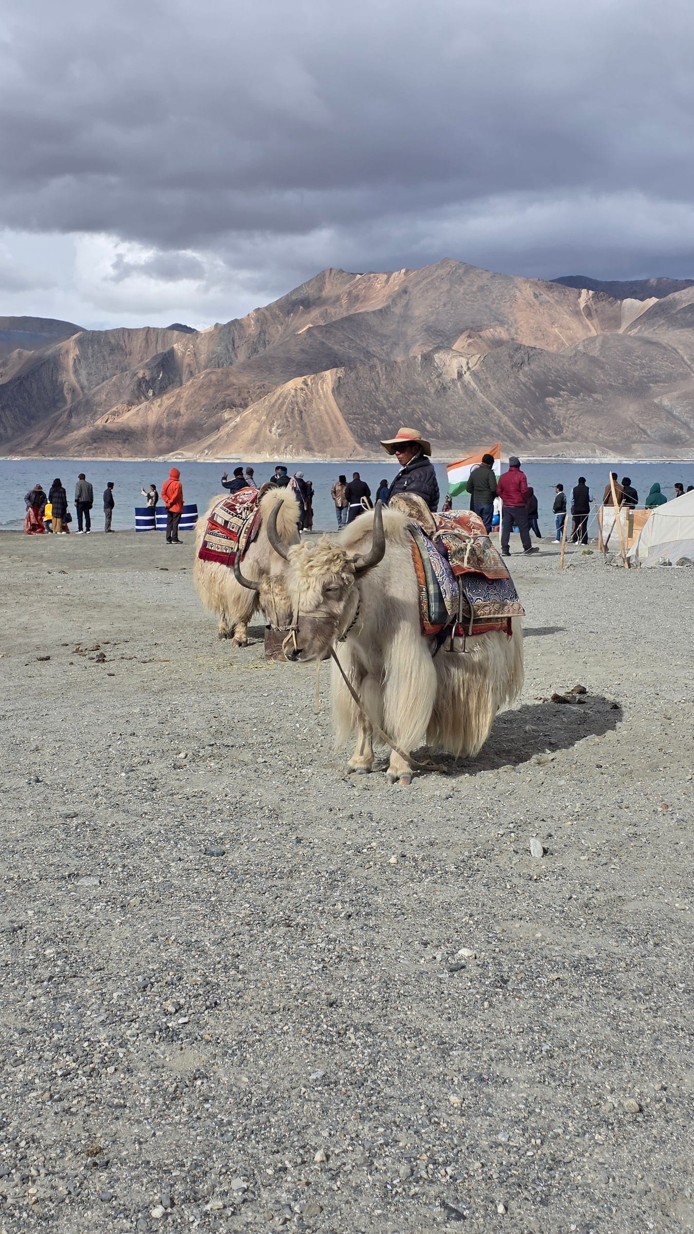
- Yak grazing the shallows and shore.
- The Tibetan ground tit, and other high-altitude birds around the marshy western edge.

When to go
- May to September: the road season, June to September most reliable.
- November to February: frozen over, bitterly cold, limited access. The Pangong Frozen Lake Marathon runs on the ice in February.
- Any month: nights drop near freezing, so pack for cold.
The fragile part
Pangong has grown more popular than its infrastructure can handle, and it shows. Night stays are regulated for that reason. Treat it gently: take your waste back with you rather than leaving it at the lake, use your camp's facilities, keep to marked areas, and do not feed the marmots. It is exactly the kind of place that is better for fewer, slower, more careful visitors.
Part of the crowd is a film's doing. Pangong stood in for the finale of a very famous Bollywood movie, and the fame has never worn off. If you want the same wild beauty with a fraction of the people, Ladakh has lakes that sit entirely within India, like Tso Moriri, that stay far quieter.
How we plan Pangong
We never send anyone to Pangong in their first days at altitude. We build in the acclimatisation, plan a night on the quieter shore instead of a day-trip scramble, confirm permits, and check road and weather the same week, since Chang La and the lake both change fast.
Want Pangong done properly, not just ticked off?
Tell us how you like to travel and we will build in the drive, a night on the shore, and the acclimatisation it needs, so you see the version most day-trippers miss.